Brunswick Park Road
Introduction
The photograph on this page of Brunswick Park Road by Martin Addison as part of the Geograph project.
The Geograph project started in 2005 with the aim of publishing, organising and preserving representative images for every square kilometre of Great Britain, Ireland and the Isle of Man.

There are currently over 7.5m images from over 14,400 individuals and you can help contribute to the project by visiting https://www.geograph.org.uk
Brunswick Park Road
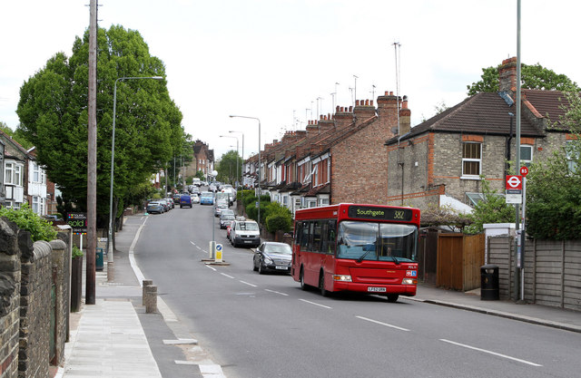
Image: © Martin Addison Taken: 12 May 2012
Looking up the hill towards Betstyle Circle. A 382 bus passes the stop for Marne Avenue on its way to Southgate from Mill Hill East.
Images are licensed for reuse under creativecommons.org/licenses/by-sa/2.0
Image Location
Latitude
51.619508
Longitude
-0.143107