Drive to Square Close
Introduction
The photograph on this page of Drive to Square Close by Nigel Mykura as part of the Geograph project.
The Geograph project started in 2005 with the aim of publishing, organising and preserving representative images for every square kilometre of Great Britain, Ireland and the Isle of Man.

There are currently over 7.5m images from over 14,400 individuals and you can help contribute to the project by visiting https://www.geograph.org.uk
Drive to Square Close
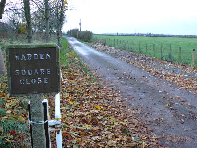
Image: © Nigel Mykura Taken: 19 Nov 2012
Square Close is a former farm that has been converted to residential use. There are three large detached houses on the site and although some of the large farm buildings remain they are not used for farming purposes. The name sign has been home made from an old concrete fire hydrant sign.
Images are licensed for reuse under creativecommons.org/licenses/by-sa/2.0
Image Location


Leaflet Map data © OpenStreetMap
Latitude
52.241168
Longitude
-1.476836