Path to Countess Street
Introduction
The photograph on this page of Path to Countess Street by John Topping as part of the Geograph project.
The Geograph project started in 2005 with the aim of publishing, organising and preserving representative images for every square kilometre of Great Britain, Ireland and the Isle of Man.

There are currently over 7.5m images from over 14,400 individuals and you can help contribute to the project by visiting https://www.geograph.org.uk
Path to Countess Street
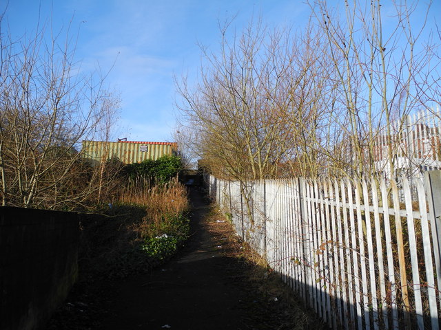
Image: © John Topping Taken: 16 Dec 2012
Path leading to Countess Street from Whitelands Road. Many a mill worker has trod this path with their clogs on, to and from the streets of the Cockbrook area of Ashton down to the cotton mills on Whitelands Road.
Images are licensed for reuse under creativecommons.org/licenses/by-sa/2.0
Image Location


Leaflet Map data © OpenStreetMap
Latitude
53.484182
Longitude
-2.078926