Guide Bridge to Stalybridge railway line
Introduction
The photograph on this page of Guide Bridge to Stalybridge railway line by John Topping as part of the Geograph project.
The Geograph project started in 2005 with the aim of publishing, organising and preserving representative images for every square kilometre of Great Britain, Ireland and the Isle of Man.

There are currently over 7.5m images from over 14,400 individuals and you can help contribute to the project by visiting https://www.geograph.org.uk
Guide Bridge to Stalybridge railway line
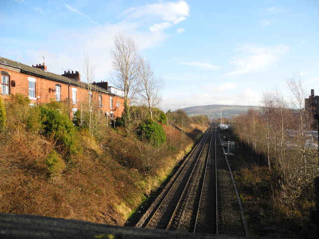
Image: © John Topping Taken: 16 Dec 2012
Overlooked by Granville Terrace on the left. Looking east from the Countess Street bridge towards Stalybridge and Wild Bank Hill (SJ9898) in the background. To the right of the track were the LNW (London North Western) lines from Denton Junction (SJ9196) via Hooley Hill, Audenshaw (which closed to traffic late 60s/early70s), known locally as the Hooley Hill Line.
Images are licensed for reuse under creativecommons.org/licenses/by-sa/2.0
Image Location
Latitude
53.484452
Longitude
-2.078022