Wild Street ? Dukinfield
Introduction
The photograph on this page of Wild Street ? Dukinfield by John Topping as part of the Geograph project.
The Geograph project started in 2005 with the aim of publishing, organising and preserving representative images for every square kilometre of Great Britain, Ireland and the Isle of Man.

There are currently over 7.5m images from over 14,400 individuals and you can help contribute to the project by visiting https://www.geograph.org.uk
Wild Street ? Dukinfield
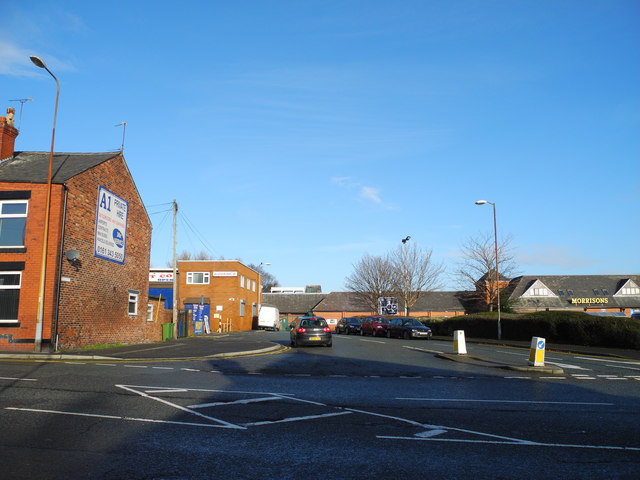
Image: © John Topping Taken: 16 Dec 2012
Leading to Morrisons store and petrol station via Wild Street, off Foundry Street (B6170).
Images are licensed for reuse under creativecommons.org/licenses/by-sa/2.0
Image Location
Latitude
53.477079
Longitude
-2.082076