Northern boundary of Chepstow
Introduction
The photograph on this page of Northern boundary of Chepstow by Jaggery as part of the Geograph project.
The Geograph project started in 2005 with the aim of publishing, organising and preserving representative images for every square kilometre of Great Britain, Ireland and the Isle of Man.

There are currently over 7.5m images from over 14,400 individuals and you can help contribute to the project by visiting https://www.geograph.org.uk
Northern boundary of Chepstow
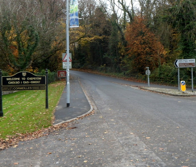
Image: © Jaggery Taken: 13 Nov 2012
The B4293, here named Welsh Street, passes the boundary sign for Chepstow, a town in SE Monmouthshire, adjacent to the boundary of Gloucestershire and England. The sign shows that Chepstow is twinned with Cormeilles in Normandy, France
Images are licensed for reuse under creativecommons.org/licenses/by-sa/2.0
Image Location
Latitude
51.647004
Longitude
-2.688627