St George's Hospital, Tooting
Introduction
The photograph on this page of St George's Hospital, Tooting by David Anstiss as part of the Geograph project.
The Geograph project started in 2005 with the aim of publishing, organising and preserving representative images for every square kilometre of Great Britain, Ireland and the Isle of Man.

There are currently over 7.5m images from over 14,400 individuals and you can help contribute to the project by visiting https://www.geograph.org.uk
St George's Hospital, Tooting
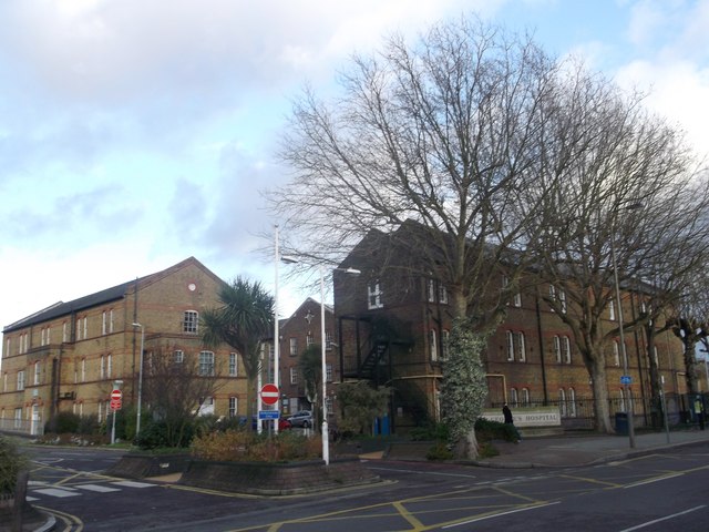
Image: © David Anstiss Taken: 9 Dec 2012
Originally The Grove Fever and Fountain Hospitals, before being merged into St George's in 1954. Now one of the UK's largest teaching hospitals.
Images are licensed for reuse under creativecommons.org/licenses/by-sa/2.0
Image Location
Latitude
51.424695
Longitude
-0.17518