Stanbury, near Haworth: looking up the valley from Hob Lane
Introduction
The photograph on this page of Stanbury, near Haworth: looking up the valley from Hob Lane by Christopher Hilton as part of the Geograph project.
The Geograph project started in 2005 with the aim of publishing, organising and preserving representative images for every square kilometre of Great Britain, Ireland and the Isle of Man.

There are currently over 7.5m images from over 14,400 individuals and you can help contribute to the project by visiting https://www.geograph.org.uk
Stanbury, near Haworth: looking up the valley from Hob Lane
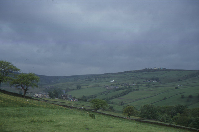
Image: © Christopher Hilton Taken: 3 Jun 1994
In the distance, Ponden Reservoir: beyond that lies Top Withens, usually assumed to be the model for the remote farm in Emily Brontë’s "Wuthering Heights".
Images are licensed for reuse under creativecommons.org/licenses/by-sa/2.0
Image Location


Leaflet Map data © OpenStreetMap
Latitude
53.829174
Longitude
-1.99419