Crossroad at Maypole
Introduction
The photograph on this page of Crossroad at Maypole by Marathon as part of the Geograph project.
The Geograph project started in 2005 with the aim of publishing, organising and preserving representative images for every square kilometre of Great Britain, Ireland and the Isle of Man.

There are currently over 7.5m images from over 14,400 individuals and you can help contribute to the project by visiting https://www.geograph.org.uk
Crossroad at Maypole
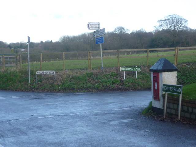
Image: © Marathon Taken: 16 Dec 2012
This crossroad is right next to The Bo-Peep public house. Shoreham Lane to the right eventually leads to Shoreham in the Darent Valley after crossing the M25. Pascalls Wood lies ahead.
Images are licensed for reuse under creativecommons.org/licenses/by-sa/2.0
Image Location
Latitude
51.352011
Longitude
0.139753