Site of Birstwith station, 1976
Introduction
The photograph on this page of Site of Birstwith station, 1976 by Ben Brooksbank as part of the Geograph project.
The Geograph project started in 2005 with the aim of publishing, organising and preserving representative images for every square kilometre of Great Britain, Ireland and the Isle of Man.

There are currently over 7.5m images from over 14,400 individuals and you can help contribute to the project by visiting https://www.geograph.org.uk
Site of Birstwith station, 1976
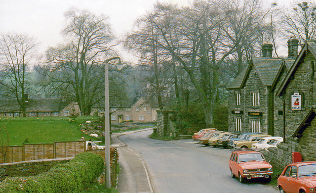
Image: © Ben Brooksbank Taken: 19 Apr 1976
View SW, across course of railway: NER Nidd Valley branch, Harrogate (to left) - Pately Bridge (to right), closed to passengers 2/4/51, goods 31/10/64; the station was on the right.
Images are licensed for reuse under creativecommons.org/licenses/by-sa/2.0
Image Location
Latitude
54.032617
Longitude
-1.62653