Path out of the chapel site
Introduction
The photograph on this page of Path out of the chapel site by Humphrey Bolton as part of the Geograph project.
The Geograph project started in 2005 with the aim of publishing, organising and preserving representative images for every square kilometre of Great Britain, Ireland and the Isle of Man.

There are currently over 7.5m images from over 14,400 individuals and you can help contribute to the project by visiting https://www.geograph.org.uk
Path out of the chapel site
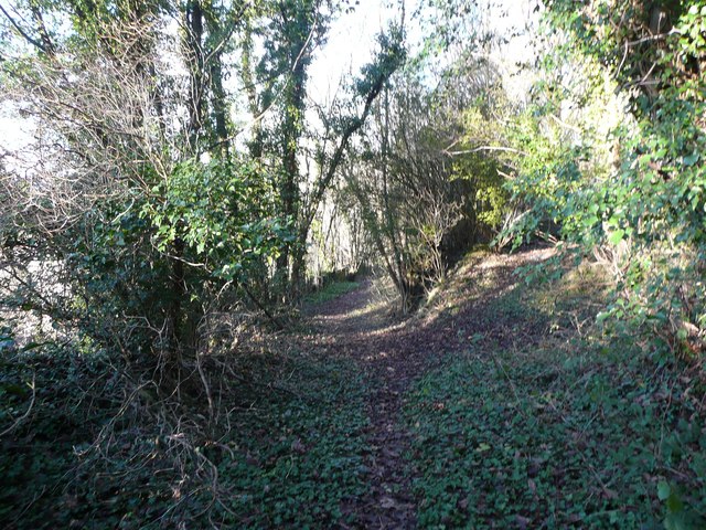
Image: © Humphrey Bolton Taken: 11 Dec 2012
This path is not shown on old 1:2500 maps, so has presumably been trodden relatively recently. It probably joins the back lane behind the demolished terrace houses that were along Burnley Road, which leads to Danny Lane.
Images are licensed for reuse under creativecommons.org/licenses/by-sa/2.0
Image Location
Latitude
53.721305
Longitude
-1.943286