Trafalgar Street
Introduction
The photograph on this page of Trafalgar Street by Thomas Nugent as part of the Geograph project.
The Geograph project started in 2005 with the aim of publishing, organising and preserving representative images for every square kilometre of Great Britain, Ireland and the Isle of Man.

There are currently over 7.5m images from over 14,400 individuals and you can help contribute to the project by visiting https://www.geograph.org.uk
Trafalgar Street
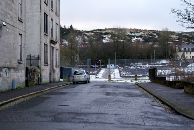
Image: © Thomas Nugent Taken: 4 Dec 2012
The street is broken up by a sports field which is beyond the fence. The street continues to Drumfrochar Road (but does not join it) after the field.
Images are licensed for reuse under creativecommons.org/licenses/by-sa/2.0
Image Location


Leaflet Map data © OpenStreetMap
Latitude
55.942977
Longitude
-4.761756