Demolition site, Peter Tavy
Introduction
The photograph on this page of Demolition site, Peter Tavy by Derek Harper as part of the Geograph project.
The Geograph project started in 2005 with the aim of publishing, organising and preserving representative images for every square kilometre of Great Britain, Ireland and the Isle of Man.

There are currently over 7.5m images from over 14,400 individuals and you can help contribute to the project by visiting https://www.geograph.org.uk
Demolition site, Peter Tavy
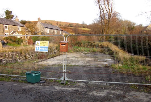
Image: © Derek Harper Taken: 11 Dec 2012
The site of a garage which was demolished http://3.bp.blogspot.com/-YcVQ5v12PSM/TcxANrUxdbI/AAAAAAAAAOE/o8-U37nXrog/s1600/P1070983.JPG in May 2011. Planning permission for a dwelling was recently refused. Unfortunate that this site is one of the main foci of the village. As http://www.dartmoor-npa.gov.uk/__data/assets/pdf_file/0019/252028/20120706-DM-Reports.pdf states, "It is a sensitive open site whose character was much altered by the construction of the garage ... the preferred outcome ... would be for reversion to the situation prior to construction of the recent garage and forecourt use and no further development in this location." On the right is the Colly Brook.
Images are licensed for reuse under creativecommons.org/licenses/by-sa/2.0
Image Location
Latitude
50.579548
Longitude
-4.099921