Stream near Langsford
Introduction
The photograph on this page of Stream near Langsford by Derek Harper as part of the Geograph project.
The Geograph project started in 2005 with the aim of publishing, organising and preserving representative images for every square kilometre of Great Britain, Ireland and the Isle of Man.

There are currently over 7.5m images from over 14,400 individuals and you can help contribute to the project by visiting https://www.geograph.org.uk
Stream near Langsford
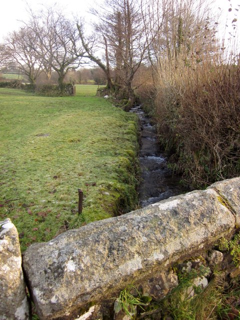
Image: © Derek Harper Taken: 11 Dec 2012
This is the parapet of the bridge glimpsed in Image behind the traffic cone. The stream, a tributary of the Tavy, is a collection of small streams from the west side of Cox Tor and the farmland below.
Images are licensed for reuse under creativecommons.org/licenses/by-sa/2.0
Image Location
Latitude
50.573527
Longitude
-4.104596