Nottingham, NG15 - Blenheim Lane
Introduction
The photograph on this page of Nottingham, NG15 - Blenheim Lane by David Hallam-Jones as part of the Geograph project.
The Geograph project started in 2005 with the aim of publishing, organising and preserving representative images for every square kilometre of Great Britain, Ireland and the Isle of Man.

There are currently over 7.5m images from over 14,400 individuals and you can help contribute to the project by visiting https://www.geograph.org.uk
Nottingham, NG15 - Blenheim Lane
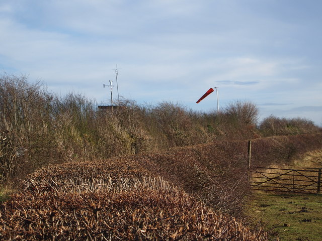
Image: © David Hallam-Jones Taken: 15 Dec 2012
Having left Bullwell-Woodhall Farm (sic) behind, this is a view seen by walkers as they proceed in the direction of Camberley Road (the A6002) and pass by the control tower and windsock features of the private flying club that is based on this southerly edge of Hucknall Aerodrome. A little way ahead is the boundary separating the Ashfield and Nottingham Council administrative areas. The Robin Hood Way/Trail between Nottingham and Edwinstowe also uses this stretch of Blenheim Lane.
Images are licensed for reuse under creativecommons.org/licenses/by-sa/2.0
Image Location
Latitude
53.011899
Longitude
-1.22015