The Colesbrook monitoring station on the river Stour
Introduction
The photograph on this page of The Colesbrook monitoring station on the river Stour by David Redwood as part of the Geograph project.
The Geograph project started in 2005 with the aim of publishing, organising and preserving representative images for every square kilometre of Great Britain, Ireland and the Isle of Man.

There are currently over 7.5m images from over 14,400 individuals and you can help contribute to the project by visiting https://www.geograph.org.uk
The Colesbrook monitoring station on the river Stour
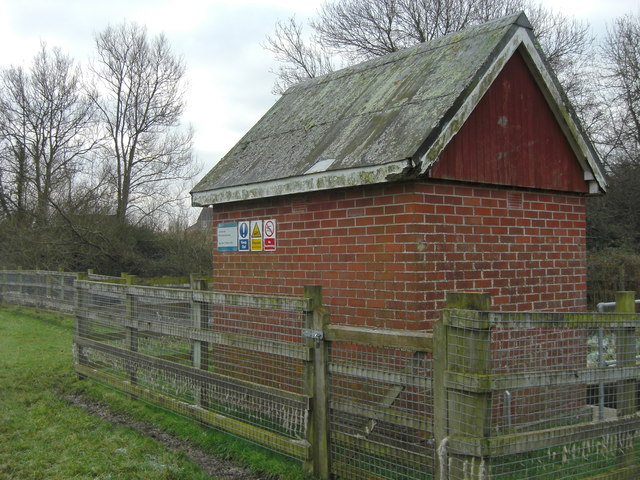
Image: © David Redwood Taken: 13 Dec 2012
One of a number of automated river flow and height monitoring stations that are found throughout the UK on most rivers. See here for today's reading at the Colesbrook station: http://www.environment-agency.gov.uk/homeandleisure/floods/riverlevels/120714.aspx?stationId=3308
Images are licensed for reuse under creativecommons.org/licenses/by-sa/2.0
Image Location
Latitude
51.049134
Longitude
-2.274995