Field boundary by the West Devon Way
Introduction
The photograph on this page of Field boundary by the West Devon Way by Derek Harper as part of the Geograph project.
The Geograph project started in 2005 with the aim of publishing, organising and preserving representative images for every square kilometre of Great Britain, Ireland and the Isle of Man.

There are currently over 7.5m images from over 14,400 individuals and you can help contribute to the project by visiting https://www.geograph.org.uk
Field boundary by the West Devon Way
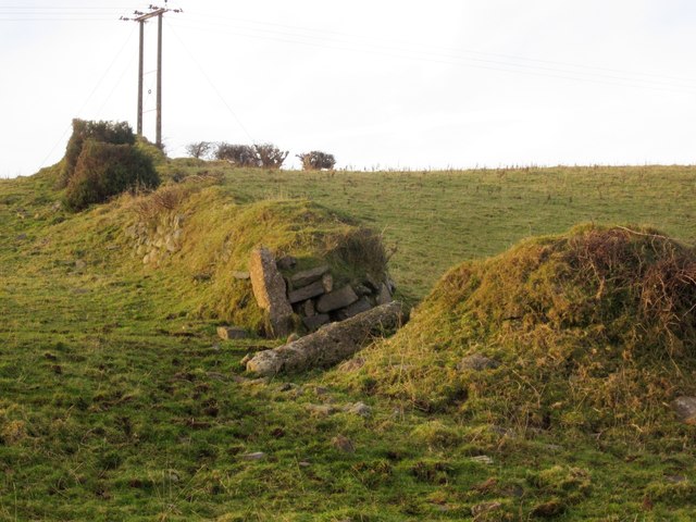
Image: © Derek Harper Taken: 11 Dec 2012
A bank and wall with some intermittent hedge thrown in for good measure. But clearly no longer required as the gateway is open and a large granite gatepost has been felled. Here, the Way is following Mary Tavy Footpath 21 north of Harford Bridge Farm.
Images are licensed for reuse under creativecommons.org/licenses/by-sa/2.0
Image Location
Latitude
50.574077
Longitude
-4.113943