Nottingham, NG6 - Bulwell
Introduction
The photograph on this page of Nottingham, NG6 - Bulwell by David Hallam-Jones as part of the Geograph project.
The Geograph project started in 2005 with the aim of publishing, organising and preserving representative images for every square kilometre of Great Britain, Ireland and the Isle of Man.

There are currently over 7.5m images from over 14,400 individuals and you can help contribute to the project by visiting https://www.geograph.org.uk
Nottingham, NG6 - Bulwell
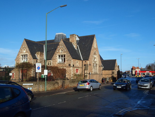
Image: © David Hallam-Jones Taken: 15 Dec 2012
The St Mary's Church of England (Voluntary Assisted) Primary & Nursery School with a roll of 300 pupils is seen here at the junction of Main Street and Ragdale Road. The "KFC" fast food outlet in the distance is on the edge of the Springfield Retail Park and equally close to the Bulwell Forest stop on the Nottingham Express Tram route.
Images are licensed for reuse under creativecommons.org/licenses/by-sa/2.0
Image Location
Latitude
53.004714
Longitude
-1.1942