Disused warehouse
Introduction
The photograph on this page of Disused warehouse by chris whitehouse as part of the Geograph project.
The Geograph project started in 2005 with the aim of publishing, organising and preserving representative images for every square kilometre of Great Britain, Ireland and the Isle of Man.

There are currently over 7.5m images from over 14,400 individuals and you can help contribute to the project by visiting https://www.geograph.org.uk
Disused warehouse
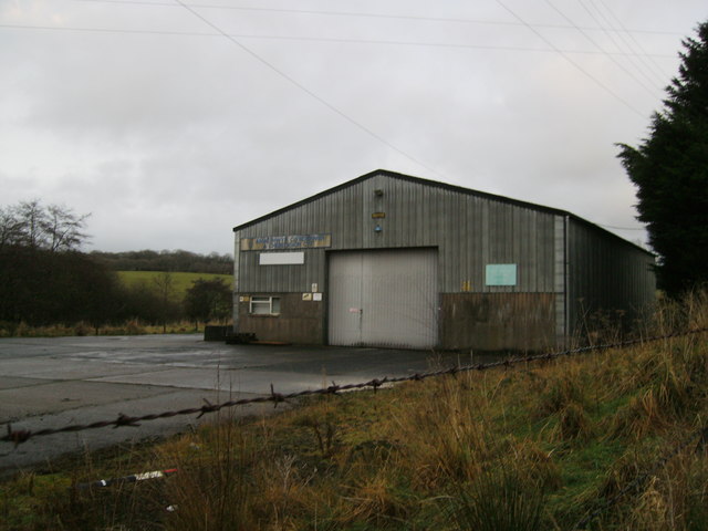
Image: © chris whitehouse Taken: 14 Dec 2012
Used to be the local farmers feed co operative, but economic cut backs meant it had to be closed, this happened a good few years ago.
Images are licensed for reuse under creativecommons.org/licenses/by-sa/2.0
Image Location
Latitude
51.909071
Longitude
-4.645123