Weathervane and chimney pot, Donaghcloney
Introduction
The photograph on this page of Weathervane and chimney pot, Donaghcloney by Albert Bridge as part of the Geograph project.
The Geograph project started in 2005 with the aim of publishing, organising and preserving representative images for every square kilometre of Great Britain, Ireland and the Isle of Man.

There are currently over 7.5m images from over 14,400 individuals and you can help contribute to the project by visiting https://www.geograph.org.uk
Weathervane and chimney pot, Donaghcloney
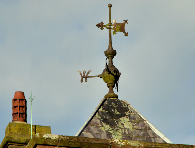
Image: © Albert Bridge Taken: 15 Dec 2012
A weathervane and chimney pot on St Patrick’s (CoI) church Image It was built, 1903, by the widow of W.E. Liddell Image as a National school. It became St Patricks Church of Ireland after the school closed in the 1970’s. Donaghcloney (CoI) parish is in Waringstown Image and has been since 1641.
Images are licensed for reuse under creativecommons.org/licenses/by-sa/2.0
Image Location
Latitude
54.418678
Longitude
-6.259087