High Henryton Darvel
Introduction
The photograph on this page of High Henryton Darvel by wfb as part of the Geograph project.
The Geograph project started in 2005 with the aim of publishing, organising and preserving representative images for every square kilometre of Great Britain, Ireland and the Isle of Man.

There are currently over 7.5m images from over 14,400 individuals and you can help contribute to the project by visiting https://www.geograph.org.uk
High Henryton Darvel
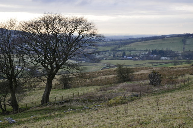
Image: © wfb Taken: 12 Dec 2012
This ruined steading hasn't been occupied for at least 150 years. It is divided up into three sections. Two would be accommodation and the other would be used as a byre.
Images are licensed for reuse under creativecommons.org/licenses/by-sa/2.0
Image Location
Latitude
55.621645
Longitude
-4.250824