The River Lagan at Donaghcloney (4)
Introduction
The photograph on this page of The River Lagan at Donaghcloney (4) by Albert Bridge as part of the Geograph project.
The Geograph project started in 2005 with the aim of publishing, organising and preserving representative images for every square kilometre of Great Britain, Ireland and the Isle of Man.

There are currently over 7.5m images from over 14,400 individuals and you can help contribute to the project by visiting https://www.geograph.org.uk
The River Lagan at Donaghcloney (4)
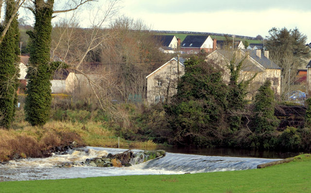
Image: © Albert Bridge Taken: 15 Dec 2012
The Lagan, seen from the Moygannon Road (to Banbridge), looking towards the village and this weir Image It’s flowing well over the weir after heavy rain the previous day.
Images are licensed for reuse under creativecommons.org/licenses/by-sa/2.0
Image Location
Latitude
54.415419
Longitude
-6.257376