Wood Edge Road, Lower Milkwall
Introduction
The photograph on this page of Wood Edge Road, Lower Milkwall by Jaggery as part of the Geograph project.
The Geograph project started in 2005 with the aim of publishing, organising and preserving representative images for every square kilometre of Great Britain, Ireland and the Isle of Man.

There are currently over 7.5m images from over 14,400 individuals and you can help contribute to the project by visiting https://www.geograph.org.uk
Wood Edge Road, Lower Milkwall
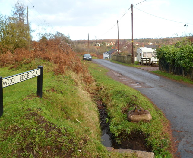
Image: © Jaggery Taken: 12 Dec 2011
Viewed from Ellwood Road. In the foreground, there is a concrete base on the grass containing what looks like a metal support for a (railway) rail, to secure it to a sleeper. Its significance, if any, is unclear. Old maps show that Milkwall railway station was formerly located about 300 metres north of this point. Passenger services at the station ceased in 1929.
Images are licensed for reuse under creativecommons.org/licenses/by-sa/2.0
Image Location
Latitude
51.777488
Longitude
-2.603065