Ealing Road between Alperton and Wembley
Introduction
The photograph on this page of Ealing Road between Alperton and Wembley by Martin Addison as part of the Geograph project.
The Geograph project started in 2005 with the aim of publishing, organising and preserving representative images for every square kilometre of Great Britain, Ireland and the Isle of Man.

There are currently over 7.5m images from over 14,400 individuals and you can help contribute to the project by visiting https://www.geograph.org.uk
Ealing Road between Alperton and Wembley
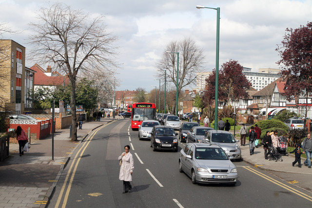
Image: © Martin Addison Taken: 6 Apr 2012
The A4089 seen from the top deck of an 83 bus. On the extreme left of the photo is the premises of the Brent Indian Centre. On the right the high rise developments at Wembley Central Station stand tall behind the semi-detached buildings along Ealing Road.
Images are licensed for reuse under creativecommons.org/licenses/by-sa/2.0
Image Location
Latitude
51.547397
Longitude
-0.297771