Taff Vale/Cwm Taf from the cycle path above Upper Boat
Introduction
The photograph on this page of Taff Vale/Cwm Taf from the cycle path above Upper Boat by John Light as part of the Geograph project.
The Geograph project started in 2005 with the aim of publishing, organising and preserving representative images for every square kilometre of Great Britain, Ireland and the Isle of Man.

There are currently over 7.5m images from over 14,400 individuals and you can help contribute to the project by visiting https://www.geograph.org.uk
Taff Vale/Cwm Taf from the cycle path above Upper Boat
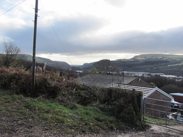
Image: © John Light Taken: 1 Dec 2012
Treforest Industrial Estate is in the right of shot, with Garth Hill behind it.
Images are licensed for reuse under creativecommons.org/licenses/by-sa/2.0
Image Location
Latitude
51.57529
Longitude
-3.283375