Wintry Streatham Common (9)
Introduction
The photograph on this page of Wintry Streatham Common (9) by Stephen Richards as part of the Geograph project.
The Geograph project started in 2005 with the aim of publishing, organising and preserving representative images for every square kilometre of Great Britain, Ireland and the Isle of Man.

There are currently over 7.5m images from over 14,400 individuals and you can help contribute to the project by visiting https://www.geograph.org.uk
Wintry Streatham Common (9)
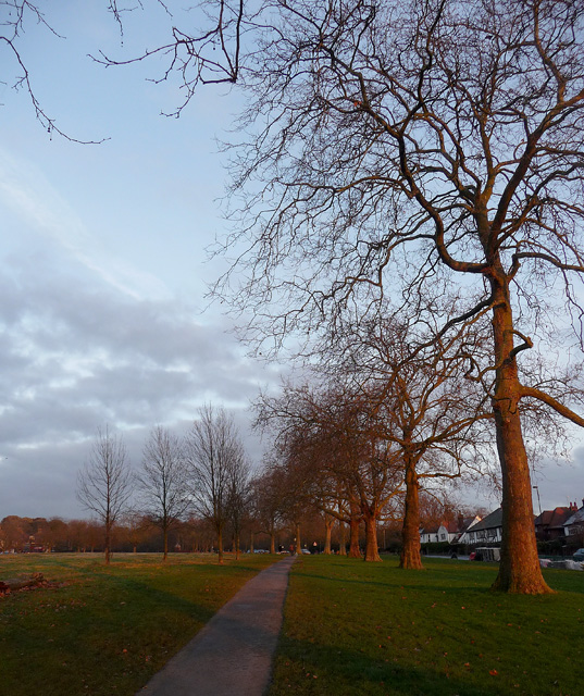
Image: © Stephen Richards Taken: 12 Dec 2012
The path at the very top of the common, lined with mature plane trees. Streatham Common comprises a large expanse of open grassland sloping up from Streatham High Road in the west, to woodland and the Rookery in the east. The latter opened in 1913 and is a more formal garden originally in the grounds of the eponymous house. It includes the site of Streatham Spa which made Streatham fashionable for a time in the early-mid C18th. The early history of the common is murky, but it stretches back to the Norman Conquest, and the Domesday Book recorded a Lime Common which stretched from Norbury to Tulse Hill. Following 500 years of church ownership its status as a public space was ensured by an Act of Parliament when it was taken over by the Metropolitan Board of Works in 1883. After several further transferrals, ownership passed to Lambeth Council in 1971. Information from Lambeth Council (http://www.lambeth.gov.uk/NR/exeres/CE4B5CE1-0387-40ED-B5A9-273A5160C34A.htm ). This is a reverse of this view: Image
Images are licensed for reuse under creativecommons.org/licenses/by-sa/2.0
Image Location
Latitude
51.421779
Longitude
-0.121502