Causeway to Reagh Island, Strangford Lough
Introduction
The photograph on this page of Causeway to Reagh Island, Strangford Lough by Albert Bridge as part of the Geograph project.
The Geograph project started in 2005 with the aim of publishing, organising and preserving representative images for every square kilometre of Great Britain, Ireland and the Isle of Man.

There are currently over 7.5m images from over 14,400 individuals and you can help contribute to the project by visiting https://www.geograph.org.uk
Causeway to Reagh Island, Strangford Lough
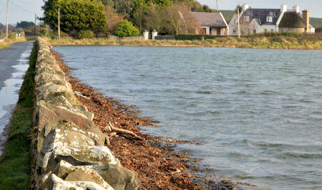
Image: © Albert Bridge Taken: 13 Dec 2012
The causeway (left) taking the Ringneill Road to Reagh Island (background), at about five minutes after high water Killyleagh. Image (May 2006) shows the same scene at a lower state of the tide.
Images are licensed for reuse under creativecommons.org/licenses/by-sa/2.0
Image Location
Latitude
54.513647
Longitude
-5.648759