Blackhall Mill
Introduction
The photograph on this page of Blackhall Mill by Andrew Curtis as part of the Geograph project.
The Geograph project started in 2005 with the aim of publishing, organising and preserving representative images for every square kilometre of Great Britain, Ireland and the Isle of Man.

There are currently over 7.5m images from over 14,400 individuals and you can help contribute to the project by visiting https://www.geograph.org.uk
Blackhall Mill
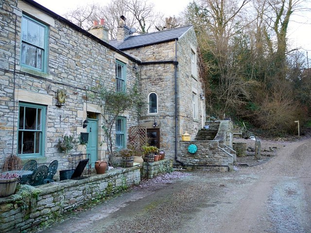
Image: © Andrew Curtis Taken: 30 Nov 2012
Blackhall Mill was formerly a water-powered corn mill. It is shown as 'disused' on the 1921 OS Map. The maps show it was probably powered by water dammed further west on the Rowley Burn and channelled by a mill race just north of Dye House where it was also used for power by the local cloth industry. Not to be confused with the Blackhall Lead Smelt Mill which was situated further west, on the north side of the Rowley Burn, north-east of Mollersteads Farm, the site now hidden in woodland Image It was in operation from the C17th to c1811. Pastscape: http://www.pastscape.org.uk/hob.aspx?hob_id=964367 https://web.archive.org/web/20170304185952/https://www.pastscape.org.uk/hob.aspx?hob_id=964367
Images are licensed for reuse under creativecommons.org/licenses/by-sa/2.0
Image Location
Latitude
54.922324
Longitude
-2.097638