Sandon Brook
Introduction
The photograph on this page of Sandon Brook by Malcolm Reid as part of the Geograph project.
The Geograph project started in 2005 with the aim of publishing, organising and preserving representative images for every square kilometre of Great Britain, Ireland and the Isle of Man.

There are currently over 7.5m images from over 14,400 individuals and you can help contribute to the project by visiting https://www.geograph.org.uk
Sandon Brook
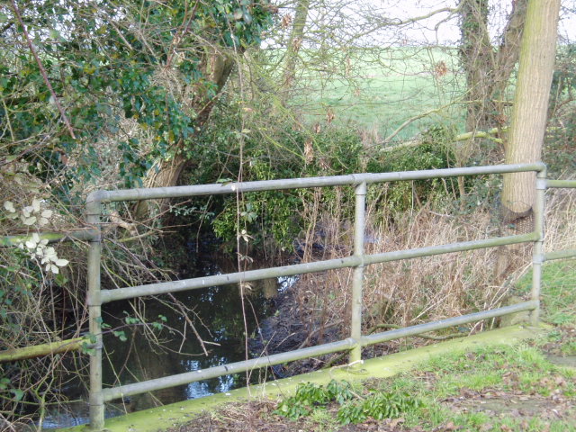
Image: © Malcolm Reid Taken: 1 Feb 2007
On Woodhill Common Road there is a small bridge where it crosses Sandon Brook.
Images are licensed for reuse under creativecommons.org/licenses/by-sa/2.0
Image Location
Latitude
51.707513
Longitude
0.553099