Western end of South Road, Sully
Introduction
The photograph on this page of Western end of South Road, Sully by Jaggery as part of the Geograph project.
The Geograph project started in 2005 with the aim of publishing, organising and preserving representative images for every square kilometre of Great Britain, Ireland and the Isle of Man.

There are currently over 7.5m images from over 14,400 individuals and you can help contribute to the project by visiting https://www.geograph.org.uk
Western end of South Road, Sully
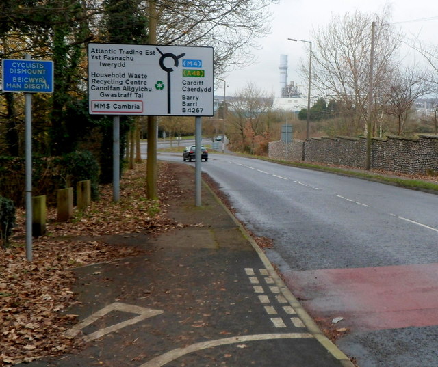
Image: © Jaggery Taken: 2 Dec 2012
South Road, the main road through the village of Sully, approaches the roundabout at the junction with Hayes Road and Sully Moors Road.
Images are licensed for reuse under creativecommons.org/licenses/by-sa/2.0
Image Location
Latitude
51.407241
Longitude
-3.223453