Sully Moors Road approaches the Sully boundary
Introduction
The photograph on this page of Sully Moors Road approaches the Sully boundary by Jaggery as part of the Geograph project.
The Geograph project started in 2005 with the aim of publishing, organising and preserving representative images for every square kilometre of Great Britain, Ireland and the Isle of Man.

There are currently over 7.5m images from over 14,400 individuals and you can help contribute to the project by visiting https://www.geograph.org.uk
Sully Moors Road approaches the Sully boundary
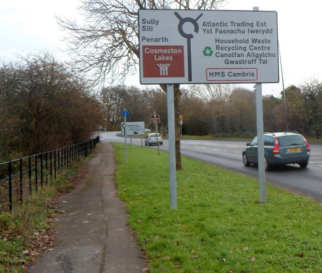
Image: © Jaggery Taken: 2 Dec 2012
The sign alongside the B4267 Sully Moors Road shows turn left ahead for Sully, Penarth and Cosmeston Lakes or right for the Atlantic Trading Estate, a household waste recycling centre and HMS Cambria.
Images are licensed for reuse under creativecommons.org/licenses/by-sa/2.0
Image Location
Latitude
51.407752
Longitude
-3.226199