Flood protection dyke
Introduction
The photograph on this page of Flood protection dyke by James Allan as part of the Geograph project.
The Geograph project started in 2005 with the aim of publishing, organising and preserving representative images for every square kilometre of Great Britain, Ireland and the Isle of Man.

There are currently over 7.5m images from over 14,400 individuals and you can help contribute to the project by visiting https://www.geograph.org.uk
Flood protection dyke
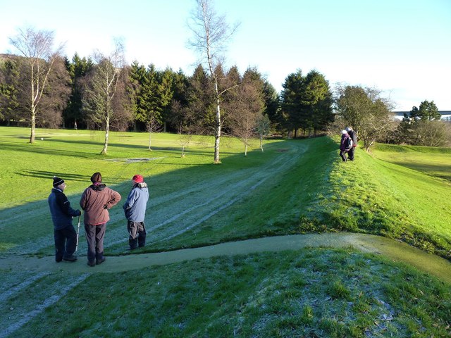
Image: © James Allan Taken: 10 Dec 2012
Near the southern end of Moncreiffe Island in the Tay at Perth.
Images are licensed for reuse under creativecommons.org/licenses/by-sa/2.0
Image Location
Latitude
56.378464
Longitude
-3.419265