Former farmhouse at Tyddyn Isaf
Introduction
The photograph on this page of Former farmhouse at Tyddyn Isaf by Ken Walton as part of the Geograph project.
The Geograph project started in 2005 with the aim of publishing, organising and preserving representative images for every square kilometre of Great Britain, Ireland and the Isle of Man.

There are currently over 7.5m images from over 14,400 individuals and you can help contribute to the project by visiting https://www.geograph.org.uk
Former farmhouse at Tyddyn Isaf
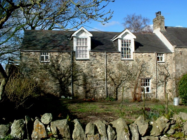
Image: © Ken Walton Taken: 8 Feb 2001
Land attached to this old house is being managed for wildlife - tree planting, a small pool, and meadows cut for hay.
Images are licensed for reuse under creativecommons.org/licenses/by-sa/2.0
Image Location


Leaflet Map data © OpenStreetMap
Latitude
53.221198
Longitude
-4.243683