Hawley Bottom
Introduction
The photograph on this page of Hawley Bottom by Derek Harper as part of the Geograph project.
The Geograph project started in 2005 with the aim of publishing, organising and preserving representative images for every square kilometre of Great Britain, Ireland and the Isle of Man.

There are currently over 7.5m images from over 14,400 individuals and you can help contribute to the project by visiting https://www.geograph.org.uk
Hawley Bottom
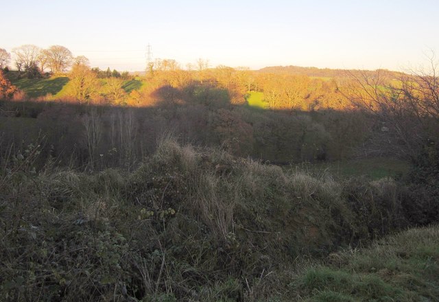
Image: © Derek Harper Taken: 5 Dec 2012
Difficulties with contrast in this winter sunlight view across the narrow valley west of Dalwood. The sun is on a field and trees beside Hawley Farm. The view is from Larkshayes Knap, all in shadow.
Images are licensed for reuse under creativecommons.org/licenses/by-sa/2.0
Image Location
Latitude
50.798053
Longitude
-3.091116