Field by the Corry Brook
Introduction
The photograph on this page of Field by the Corry Brook by Derek Harper as part of the Geograph project.
The Geograph project started in 2005 with the aim of publishing, organising and preserving representative images for every square kilometre of Great Britain, Ireland and the Isle of Man.

There are currently over 7.5m images from over 14,400 individuals and you can help contribute to the project by visiting https://www.geograph.org.uk
Field by the Corry Brook
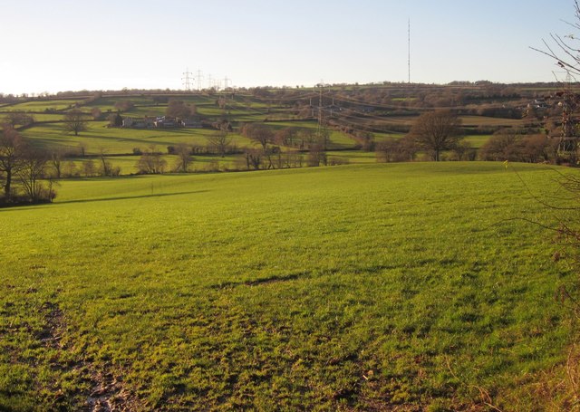
Image: © Derek Harper Taken: 5 Dec 2012
Looking more to the right across the field shown in Image The 1:25000 sheet shows a now-vanished field boundary which looped across from the angle on the left to the trees on the right. Across the Corry Brook are Higher Corrie Farm (left) and Harrison Farm (centre, behind a pylon). Off to the right is Ham. Dominating the skyline is the tranmssion mast on Stockland Hill.
Images are licensed for reuse under creativecommons.org/licenses/by-sa/2.0
Image Location
Latitude
50.803644
Longitude
-3.069959