The western end of Whitehill Road in Kidderminster
Introduction
The photograph on this page of The western end of Whitehill Road in Kidderminster by Jeremy Bolwell as part of the Geograph project.
The Geograph project started in 2005 with the aim of publishing, organising and preserving representative images for every square kilometre of Great Britain, Ireland and the Isle of Man.

There are currently over 7.5m images from over 14,400 individuals and you can help contribute to the project by visiting https://www.geograph.org.uk
The western end of Whitehill Road in Kidderminster
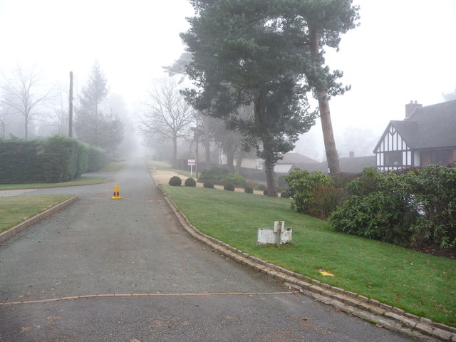
Image: © Jeremy Bolwell Taken: 12 Dec 2012
A private road on the western fringe of the town. Detached houses on both sides, some quite large and impressive, others on a fairly typical scale and also with a fair variety of ages ranging from maybe the 1930's to the 1980's or '90's and styles from 'executive' to 'gin palace' to 'golf-clubhouse-meets-aspirational-suburbia' .
Images are licensed for reuse under creativecommons.org/licenses/by-sa/2.0
Image Location
Latitude
52.376666
Longitude
-2.280529