Ickenham Park development
Introduction
The photograph on this page of Ickenham Park development by Ian Harrison as part of the Geograph project.
The Geograph project started in 2005 with the aim of publishing, organising and preserving representative images for every square kilometre of Great Britain, Ireland and the Isle of Man.

There are currently over 7.5m images from over 14,400 individuals and you can help contribute to the project by visiting https://www.geograph.org.uk
Ickenham Park development
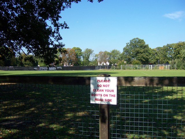
Image: © Ian Harrison Taken: 28 Sep 2011
Early stages of the final stage of the Ickenham Park housing development, on land formerly used for recreational facilities as part of the former RAF West Ruislip.
Images are licensed for reuse under creativecommons.org/licenses/by-sa/2.0
Image Location
Latitude
51.56567
Longitude
-0.441515