Grain Marsh
Introduction
The photograph on this page of Grain Marsh by Roger W Haworth as part of the Geograph project.
The Geograph project started in 2005 with the aim of publishing, organising and preserving representative images for every square kilometre of Great Britain, Ireland and the Isle of Man.

There are currently over 7.5m images from over 14,400 individuals and you can help contribute to the project by visiting https://www.geograph.org.uk
Grain Marsh
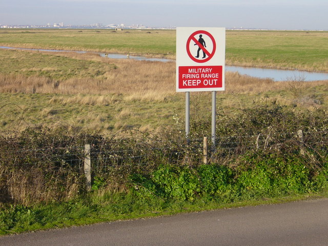
Image: © Roger W Haworth Taken: 31 Jan 2007
Marked "Danger Area" on the map and "MoD Firing Range" on the ground, it is best to view this square from the edge! In the background is Southend-on-Sea.
Images are licensed for reuse under creativecommons.org/licenses/by-sa/2.0
Image Location
Latitude
51.461728
Longitude
0.697438