Cottages on Little Thorpe Lane
Introduction
The photograph on this page of Cottages on Little Thorpe Lane by Jonathan Thacker as part of the Geograph project.
The Geograph project started in 2005 with the aim of publishing, organising and preserving representative images for every square kilometre of Great Britain, Ireland and the Isle of Man.

There are currently over 7.5m images from over 14,400 individuals and you can help contribute to the project by visiting https://www.geograph.org.uk
Cottages on Little Thorpe Lane
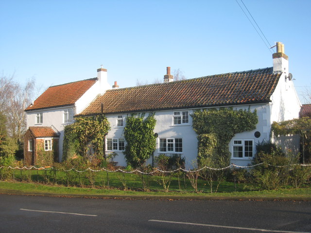
Image: © Jonathan Thacker Taken: 11 Dec 2012
Thorpe on the Hill was suburbanised in the 1960s and 1970s and so has a large number of bungalows, but a few older houses remain.
Images are licensed for reuse under creativecommons.org/licenses/by-sa/2.0
Image Location


Leaflet Map data © OpenStreetMap
Latitude
53.179648
Longitude
-0.640425