Westwater by the Yarty
Introduction
The photograph on this page of Westwater by the Yarty by Derek Harper as part of the Geograph project.
The Geograph project started in 2005 with the aim of publishing, organising and preserving representative images for every square kilometre of Great Britain, Ireland and the Isle of Man.

There are currently over 7.5m images from over 14,400 individuals and you can help contribute to the project by visiting https://www.geograph.org.uk
Westwater by the Yarty
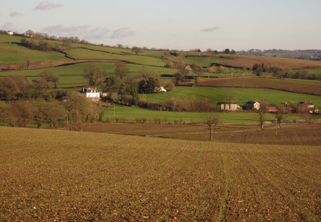
Image: © Derek Harper Taken: 5 Dec 2012
Houses at the hamlet of Westwater, seen from the lane north of Millgreen. The River Yarty can be glimpsed on the right in front of the cottages.
Images are licensed for reuse under creativecommons.org/licenses/by-sa/2.0
Image Location
Latitude
50.79054
Longitude
-3.027097