River Thaw and Aberthaw Power Station
Introduction
The photograph on this page of River Thaw and Aberthaw Power Station by Tony Hodge as part of the Geograph project.
The Geograph project started in 2005 with the aim of publishing, organising and preserving representative images for every square kilometre of Great Britain, Ireland and the Isle of Man.

There are currently over 7.5m images from over 14,400 individuals and you can help contribute to the project by visiting https://www.geograph.org.uk
River Thaw and Aberthaw Power Station
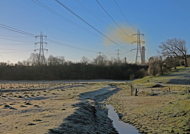
Image: © Tony Hodge Taken: 10 Dec 2012
Photo of river Thaw just up stream of where it empties into the sea (Aberthaw) and the lightly smoking chimney of the power station of the same name. This power station burns both coal and wood.
Images are licensed for reuse under creativecommons.org/licenses/by-sa/2.0
Image Location
Latitude
51.398714
Longitude
-3.391271