Houses on Ashley Green, East Hanningfield
Introduction
The photograph on this page of Houses on Ashley Green, East Hanningfield by Robin Webster as part of the Geograph project.
The Geograph project started in 2005 with the aim of publishing, organising and preserving representative images for every square kilometre of Great Britain, Ireland and the Isle of Man.

There are currently over 7.5m images from over 14,400 individuals and you can help contribute to the project by visiting https://www.geograph.org.uk
Houses on Ashley Green, East Hanningfield
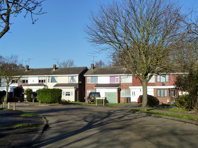
Image: © Robin Webster Taken: 11 Dec 2012
The road leads to a complex of closes which has added considerably to the village population.
Images are licensed for reuse under creativecommons.org/licenses/by-sa/2.0
Image Location
Latitude
51.680428
Longitude
0.55794