Countryside west of Shute
Introduction
The photograph on this page of Countryside west of Shute by Derek Harper as part of the Geograph project.
The Geograph project started in 2005 with the aim of publishing, organising and preserving representative images for every square kilometre of Great Britain, Ireland and the Isle of Man.

There are currently over 7.5m images from over 14,400 individuals and you can help contribute to the project by visiting https://www.geograph.org.uk
Countryside west of Shute
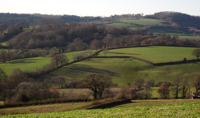
Image: © Derek Harper Taken: 5 Dec 2012
Fields near Shute seen from the same spot on Ashes Road as Image Across to the left is the partly wooded parkland of Woodend Park, the former Shute Deer Park, which contains King John's Oak, the largest oak in the West Country http://umborne.org/2011/07/king-johns-oak/ .
Images are licensed for reuse under creativecommons.org/licenses/by-sa/2.0
Image Location
Latitude
50.773948
Longitude
-3.072117