McDonald's Barry
Introduction
The photograph on this page of McDonald's Barry by Jaggery as part of the Geograph project.
The Geograph project started in 2005 with the aim of publishing, organising and preserving representative images for every square kilometre of Great Britain, Ireland and the Isle of Man.

There are currently over 7.5m images from over 14,400 individuals and you can help contribute to the project by visiting https://www.geograph.org.uk
McDonald's Barry
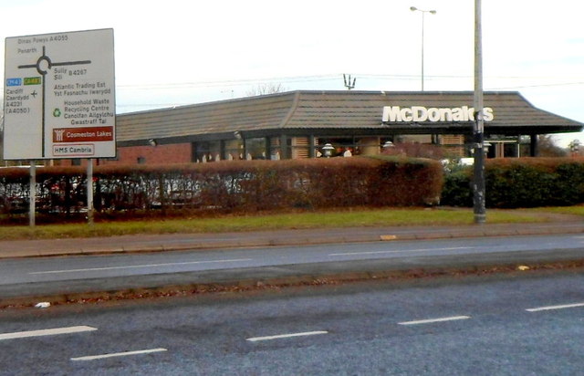
Image: © Jaggery Taken: 2 Dec 2012
Located at the edge of Ty Verlon Industrial Estate at the eastern edge of Barry. The large road sign is at the approach to the roundabout at the junction of Cardiff Road (A4055) with the Barry Docks Link Road and Sully Moors Road.
Images are licensed for reuse under creativecommons.org/licenses/by-sa/2.0
Image Location
Latitude
51.415159
Longitude
-3.231574