Lamport
Introduction
The photograph on this page of Lamport by Ian Rob as part of the Geograph project.
The Geograph project started in 2005 with the aim of publishing, organising and preserving representative images for every square kilometre of Great Britain, Ireland and the Isle of Man.

There are currently over 7.5m images from over 14,400 individuals and you can help contribute to the project by visiting https://www.geograph.org.uk
Lamport
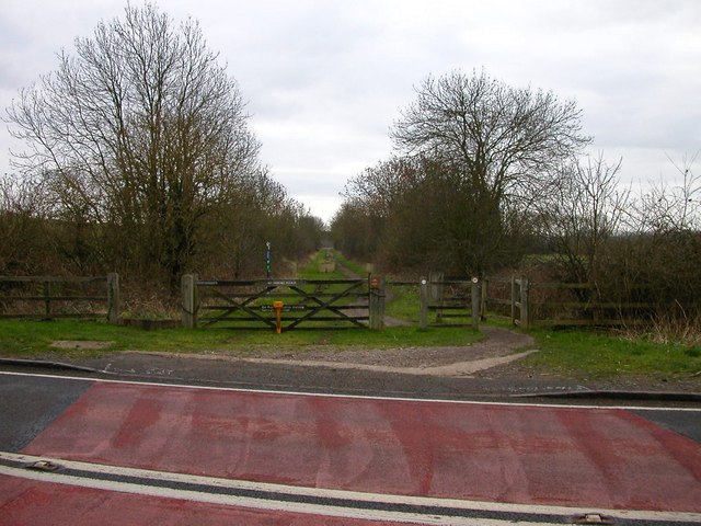
Image: © Ian Rob Taken: 30 Jan 2007
The Railway crossed the road as a level crossing at this point.Now the Brampton Valley Way footpath.
Images are licensed for reuse under creativecommons.org/licenses/by-sa/2.0
Image Location
Latitude
52.368825
Longitude
-0.899874