House below Shute Hill Woods
Introduction
The photograph on this page of House below Shute Hill Woods by Derek Harper as part of the Geograph project.
The Geograph project started in 2005 with the aim of publishing, organising and preserving representative images for every square kilometre of Great Britain, Ireland and the Isle of Man.

There are currently over 7.5m images from over 14,400 individuals and you can help contribute to the project by visiting https://www.geograph.org.uk
House below Shute Hill Woods
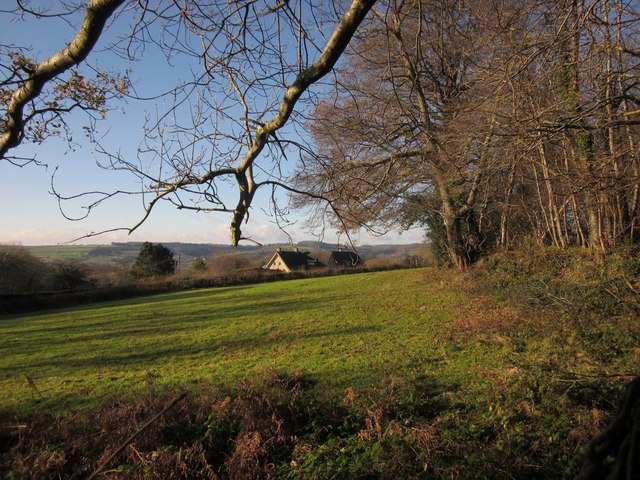
Image: © Derek Harper Taken: 5 Dec 2012
From the edge of car park for Shute Hill Woods (right) on Haddon Road, looking towards Rowlands across a meadow.
Images are licensed for reuse under creativecommons.org/licenses/by-sa/2.0
Image Location
Latitude
50.770494
Longitude
-3.056439