Farm Buildings, River Rib Valley
Introduction
The photograph on this page of Farm Buildings, River Rib Valley by Melvyn Cousins as part of the Geograph project.
The Geograph project started in 2005 with the aim of publishing, organising and preserving representative images for every square kilometre of Great Britain, Ireland and the Isle of Man.

There are currently over 7.5m images from over 14,400 individuals and you can help contribute to the project by visiting https://www.geograph.org.uk
Farm Buildings, River Rib Valley
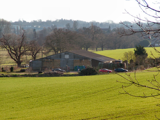
Image: © Melvyn Cousins Taken: 31 Jan 2007
Farm buildings belonging to Ware Park Farm next to the River Rib. In the background can be seen the spire of St Leonard's Church, Bengeo, which is in Geograph TL3313 square.
Images are licensed for reuse under creativecommons.org/licenses/by-sa/2.0
Image Location


Leaflet Map data © OpenStreetMap
Latitude
51.81543
Longitude
-0.074853