Brook Turn Cottages
Introduction
The photograph on this page of Brook Turn Cottages by Nigel Mykura as part of the Geograph project.
The Geograph project started in 2005 with the aim of publishing, organising and preserving representative images for every square kilometre of Great Britain, Ireland and the Isle of Man.

There are currently over 7.5m images from over 14,400 individuals and you can help contribute to the project by visiting https://www.geograph.org.uk
Brook Turn Cottages
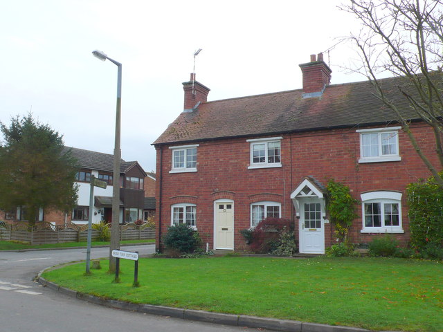
Image: © Nigel Mykura Taken: 19 Nov 2012
These old red brick cottages front onto Church Rd. The road to the left of them runs south to Bascote. Unfortunately the sign indicating "Bascote 1" is so covered with algae as to be almost unreadable.
Images are licensed for reuse under creativecommons.org/licenses/by-sa/2.0
Image Location
Latitude
52.282877
Longitude
-1.399826