London Road and Eastcroft Incinerator
Introduction
The photograph on this page of London Road and Eastcroft Incinerator by John Sutton as part of the Geograph project.
The Geograph project started in 2005 with the aim of publishing, organising and preserving representative images for every square kilometre of Great Britain, Ireland and the Isle of Man.

There are currently over 7.5m images from over 14,400 individuals and you can help contribute to the project by visiting https://www.geograph.org.uk
London Road and Eastcroft Incinerator
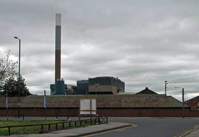
Image: © John Sutton Taken: 9 Jun 2012
This view across London Road and the canal from Crocus Street is dominated by the Eastcroft refuse incinerator, whose chimney is a landmark on the south side of the city. Though the principal subject is in Image, the stretch of London Road and the corrugated-roofed building on the other side of the canal are in Image and Image
Images are licensed for reuse under creativecommons.org/licenses/by-sa/2.0
Image Location
Latitude
52.945693
Longitude
-1.135768