Droitwich Canal
Introduction
The photograph on this page of Droitwich Canal by Mary and Angus Hogg as part of the Geograph project.
The Geograph project started in 2005 with the aim of publishing, organising and preserving representative images for every square kilometre of Great Britain, Ireland and the Isle of Man.

There are currently over 7.5m images from over 14,400 individuals and you can help contribute to the project by visiting https://www.geograph.org.uk
Droitwich Canal
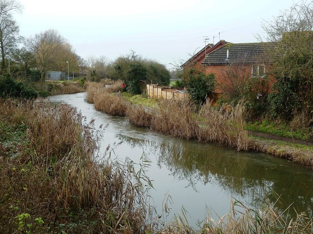
Image: © Mary and Angus Hogg Taken: 6 Dec 2012
Viewed from Siding Lane Bridge on a chilly December morning. There was a lot of thin ice on the water surface.
Images are licensed for reuse under creativecommons.org/licenses/by-sa/2.0
Image Location
Latitude
52.264595
Longitude
-2.165823